


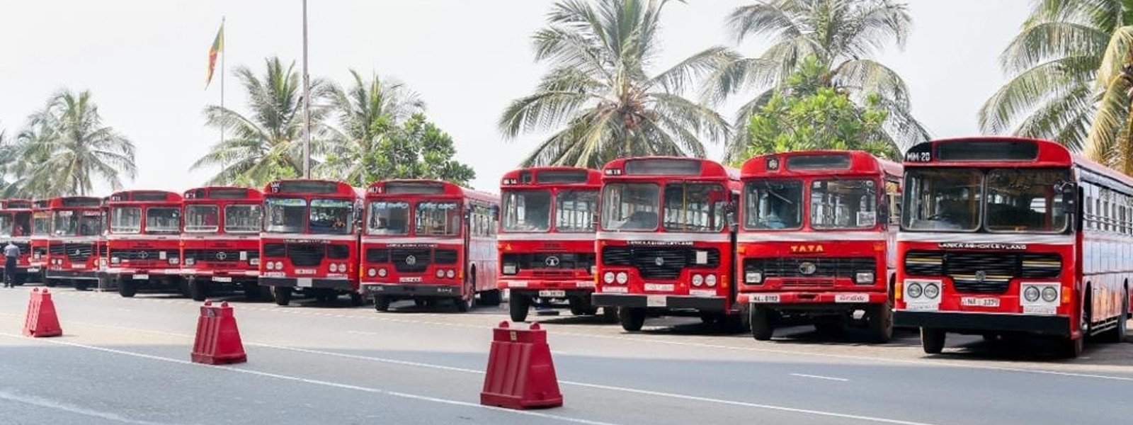
SLTB to add routes into geographic information systems to improve public transportation services


.png )
The Sri Lanka Transport Board (SLTB) has announced a new pilot program that aims to incorporate bus route maps into a geographic information system (GIS).
This program will allow SLTB to effectively manage and monitor bus routes and schedules, thereby improving the quality of public transportation services in Sri Lanka.
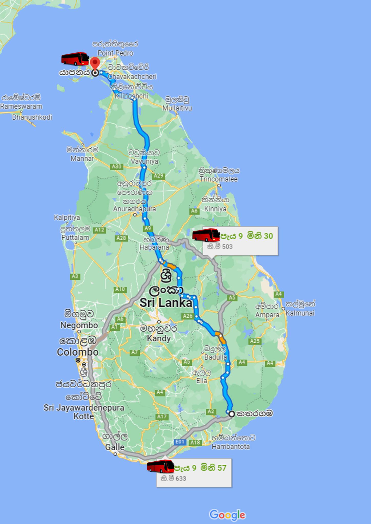
Through this pilot program, bus route maps will be integrated into a GIS, enabling SLTB to have a more accurate and detailed understanding of its transportation network.
This will enable SLTB to identify potential issues, such as traffic congestion, and develop solutions to improve the efficiency of bus routes.
In addition, the program will provide passengers with a user-friendly map of the SLTB's bus routes and schedules, making it easier for them to plan their journeys and travel more efficiently.
The program is expected to provide significant benefits for both passengers and SLTB, by reducing travel time, improving bus scheduling and ultimately increasing the overall quality of public transportation services.
A sample of the new pilot project was shared on the SLTB Facebook Page.
Other Articles


 - Copy-762104_550x300.jpg)


Featured News

-761920_550x300.jpg)


-761841_550x300.jpg)
News 1st, MTV Channel (Pvt) Ltd, MBC Networks (Pvt) Ltd, 45/3, Braybrooke Street, Colombo-02.
T.P : +94 114 792 700,
Fax : +94 114 792 733
T.P : +94 114 792 700,
Fax : +94 114 792 733


 |  |  |
|---|---|---|
 |  |  |
 |  |  |
 |

.gif)